In the early morning, before the tour coaches arrive, Butrint is mostly sound: frogs in the flooded corners of the ruins, wind moving through eucalyptus and laurel, the slap of water against the stones of a Roman bath. The theatre sits half in shadow, its lowest rows standing in green water. A tortoise crosses the path. You could be the only person on the peninsula.
A few kilometres north, Ksamil is waking up differently. Men are raking the sand in front of rows of loungers, a delivery van is unloading crates of water, and the first swimmers are already out towards the islets that sit just offshore. These two places are close neighbours and complete opposites, and most visitors to the south see both in a day.
A city in layers
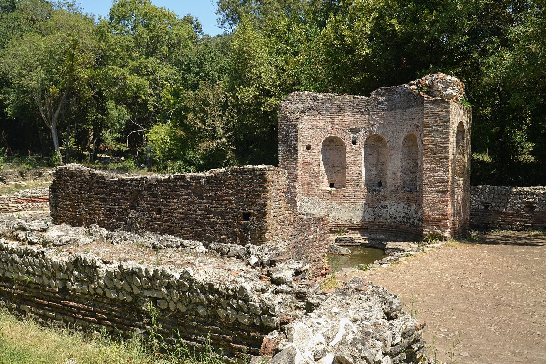
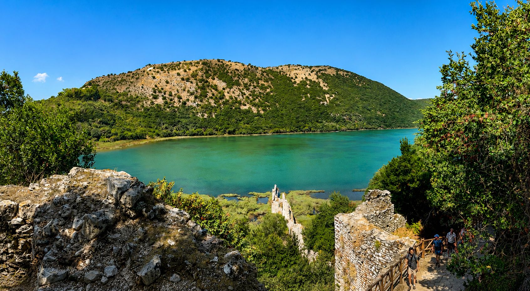
Butrint occupies a wooded headland where Lake Butrint drains to the sea through the Vivari Channel. The position explains its long life: a defensible hill, fresh water, a sheltered lagoon and a short crossing to Corfu. People settled here from prehistoric times, and the Greeks of Epirus made it a fortified town with a sanctuary to Asclepius, the god of healing. The Romans followed, and under Augustus it became a colony with new houses, baths and an aqueduct.
The city never quite emptied. A Byzantine town grew over the Roman one, with a great basilica and a baptistery whose mosaic floor of birds and animals is among the finest in the region. It is usually kept covered with sand to protect it and only shown on rare occasions. Later the Venetians held the site, building towers and walls, and around 1800 Ali Pasha of Tepelena fortified the channel against them.
Virgil gave Butrint a place in literature. In the Aeneid, Aeneas lands here on his long voyage from Troy and finds the exiled Trojans Helenus and Andromache ruling a small copy of their lost city. The Romans who later settled the site were happy to claim that story as their own.
Walking the site
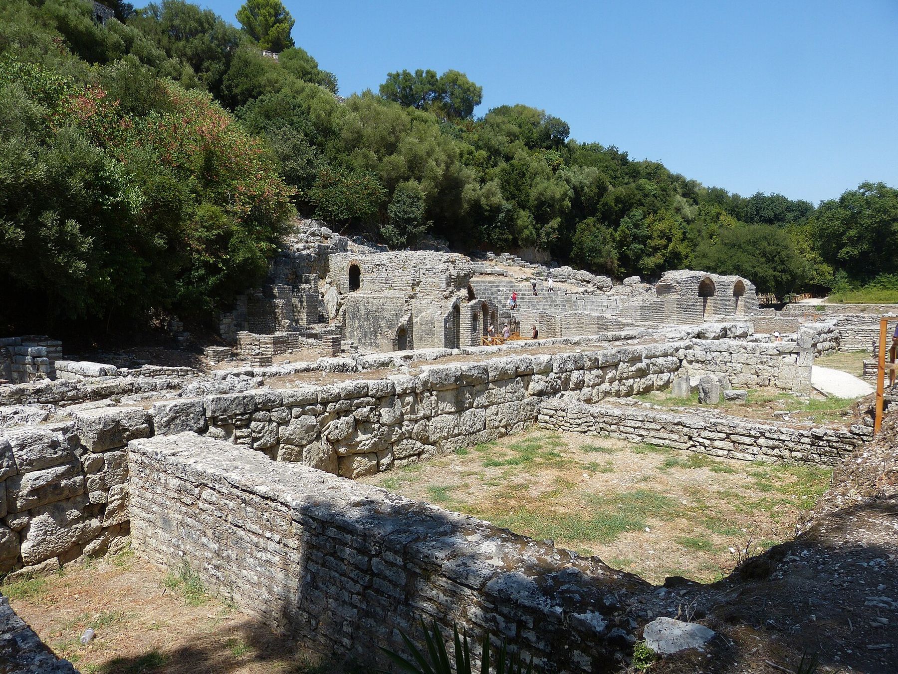
A loop path of a few kilometres takes you through most of it, and it is worth allowing two to three hours. You enter near the Venetian tower by the channel and come first to the theatre, built by the Greeks and remodelled by the Romans, with the sanctuary of Asclepius beside it. Inscriptions cut into the stones here record the freeing of slaves, a reminder that this was a working civic space as well as a stage.
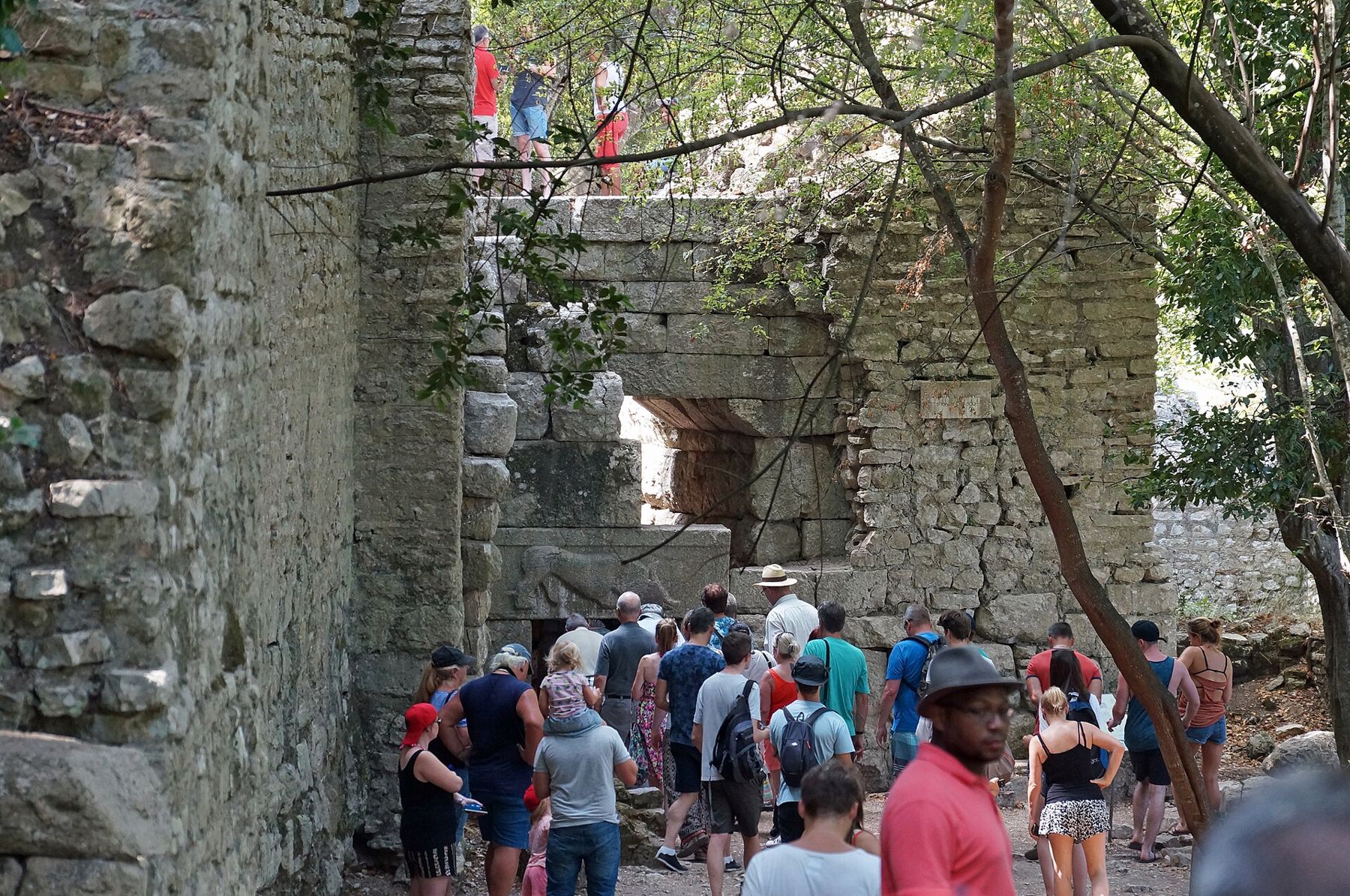
Beyond lie the Roman baths, the baptistery, and the Great Basilica, its roofless nave framed by tall arches and usually loud with birds. The path follows the old city walls to the Lion Gate, a narrow entrance whose lintel shows a lion bringing down a bull, then climbs to the acropolis. Here a small fortified building, reconstructed in the twentieth century, holds the site museum and gives the best view over the lagoon, the channel and the plain towards Greece.
Down near the water, the Triconch Palace is the remains of a large late Roman house that kept growing, room by room, as its owners grew richer, until it reached the edge of the lagoon. Its three-apsed dining hall gave it its name.
These two places are close neighbours and complete opposites, and most visitors to the south see both in a day.
The park around the ruins
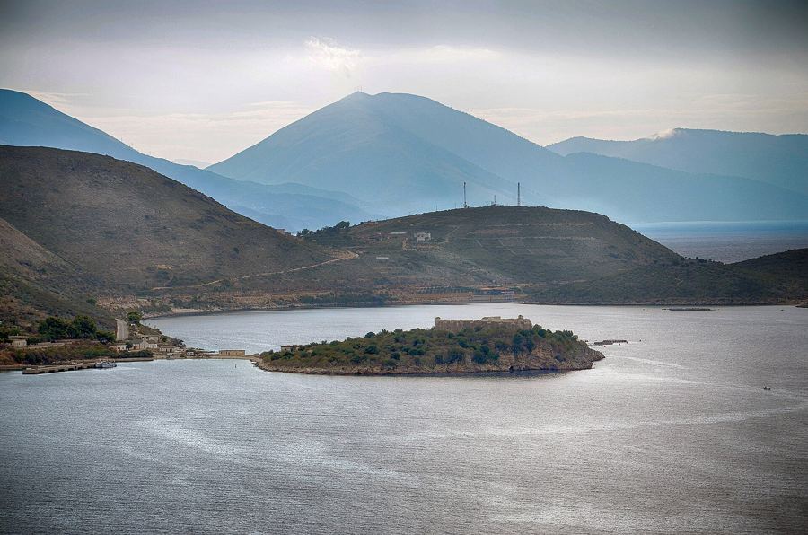
The ruins are only part of Butrint National Park, which takes in the lake, wetlands, reed beds and low hills around them. Herons work the shallows, and the lagoon is known for its mussels, farmed on lines strung across the water. Across the Vivari Channel, reached by a small cable ferry, stands Ali Pasha's triangular fortress, and beyond it farmland stretches towards the Greek border.
Fees, opening hours and the running of the ferry change from season to season, so check them locally. In summer the heat at midday is fierce, and the shade on the site is patchy, so the first and last hours of the day are the time to walk it. Bring water and a hat.
 Read nextSarandë, the southern base
Ksamil and its islets
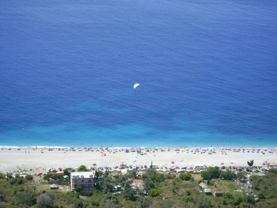
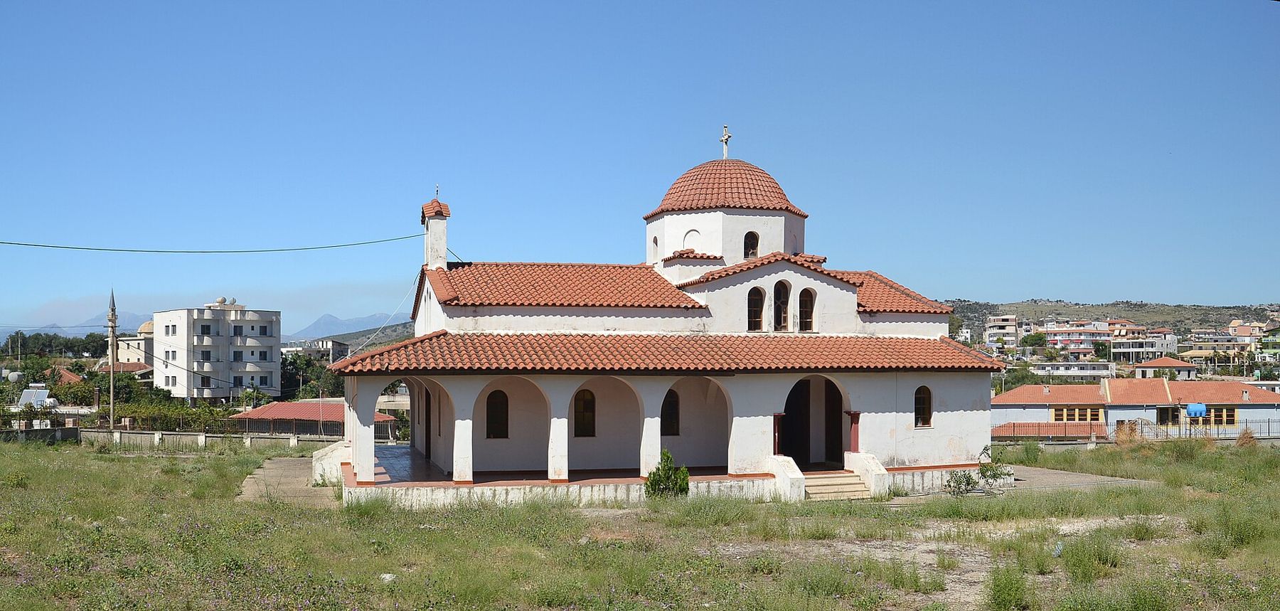
Ksamil was a small farming village planted with olives and citrus in the communist years, set on the narrow neck of land between the lake and the sea. Its fortune is a run of little bays with pale sand and pebble and very clear, shallow water, and four small wooded islands just offshore. On calm days strong swimmers cross to the nearest of them, and pedal boats and small motorboats carry everyone else.
Since the 1990s the village has grown fast and with little planning, and in high summer it shows. Almost every metre of beach is let out in sun loungers, construction is visible on most streets, and the road from Sarandë can back up for long stretches. In the evening the promenade fills with families and the restaurants put out tables of grilled fish and mussels from the lagoon.
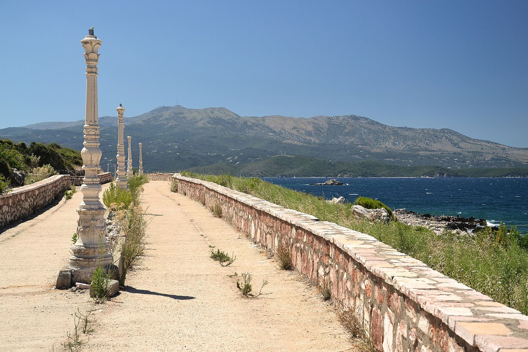
The village has a modest centre with a small modern church and the usual mix of minimarkets and cafés. It is not a place for architecture. It is a place for water, and on a quiet morning in June, with the islets green and the sea glassy, it earns its reputation.
Handling the crowds
August is the problem month. Albanian families, visitors from Kosovo and North Macedonia, the diaspora and international travellers all converge on the far south at once, and Ksamil, with its handful of small beaches, absorbs more people than it comfortably can. Beach prices rise, finding parking is slow, and noise carries late into the night.
The answer is timing. In May, June and the second half of September the water is warm enough, the beaches have room, and Butrint is pleasant at any hour. If August is the only option, swim early, visit the ruins at opening time, and spend the middle of the day in the shade. Staying in Sarandë and coming down for the day is another way to avoid the busiest stretch of road.
Many visitors combine the two places with the coast to the north. Our story on the Riviera, bay by bay follows the shore up to the Llogara Pass, and our comparison of the coast's beaches sets Ksamil against its rivals.
Getting between them
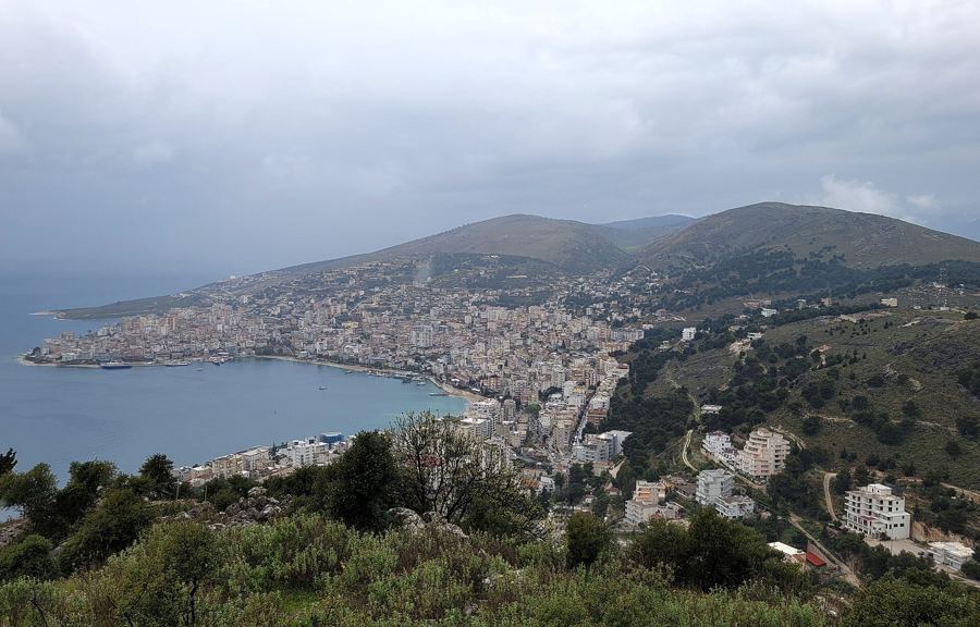
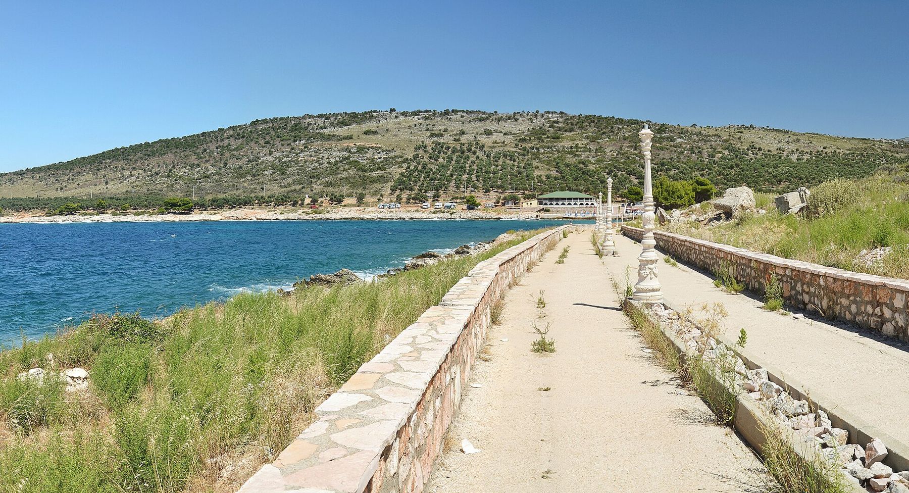
The road south from Sarandë runs along the shore of Lake Butrint for much of the way, passing Ksamil and ending at the ruins, where the land runs out at the Vivari Channel. It is a short drive, and local buses cover the route from Sarandë, more often in summer than in winter. Timetables change, so ask at the bus stop on Sarandë's seafront or wherever you are staying. Taxis wait at both ends in season.
Cyclists use the road too, though it is narrow in places and busy in August, and the shoulder is not always generous. Out of season it is a pleasant ride, flat by Albanian standards, with the lake on one side and olive groves on the other.
A sensible day runs like this: the ruins at opening time, when it is cool and the light is low across the lagoon; a swim at Ksamil before midday; a long lunch of mussels and fish; a sleep through the heat; and a second swim as the sun drops towards Corfu. It sounds obvious, but in high summer the order matters. The ruins at two in the afternoon in August are hard going, and the beaches at the same hour are at their most crowded.
If you have a second day, the lake rewards a slower look. The mussel farms along its shore are working places, and the villages on its eastern side see few visitors. The flat land beyond the channel, towards the border crossing with Greece, is farmland and marsh, good for birds in spring and autumn.
Ksamil's islets themselves are small and mostly rocky under their trees. A few have had beach bars in summer, and rules about what can operate on them have shifted over the years, so expect change. Strong currents are rare in the shallow strait, but boats move fast between the islands, so swimmers should stay visible and keep to the routes others use.
A last look from the hill
The best ending to a day here is back at Butrint, if the site is open late enough, or on any rise above Ksamil at sunset. From the acropolis the lagoon turns silver, the Venetian tower darkens against the channel, and Corfu's mountains go blue across the strait. The coach park empties. The frogs start again.
Filed under The Coast