The flag in Flag Square is big enough to be seen from the end of the street, red with the black double-headed eagle, snapping in the wind off the bay. Below it the Independence Monument rises in bronze: men with rifles and banners, a woman, a figure holding the flag aloft, all leaning forward as if into a gale. Traffic circles them. Office workers cross the square with coffee in paper cups. This is where Albania, as a state, begins.
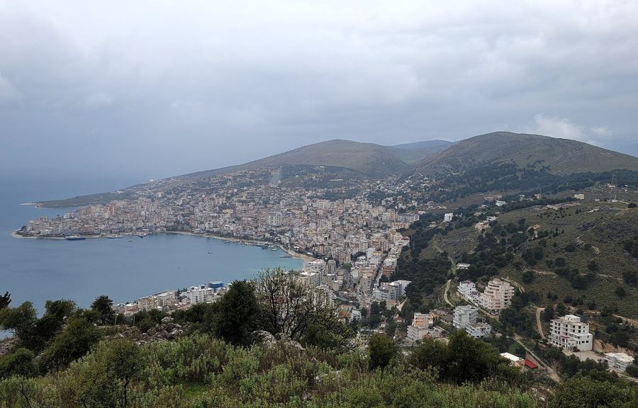
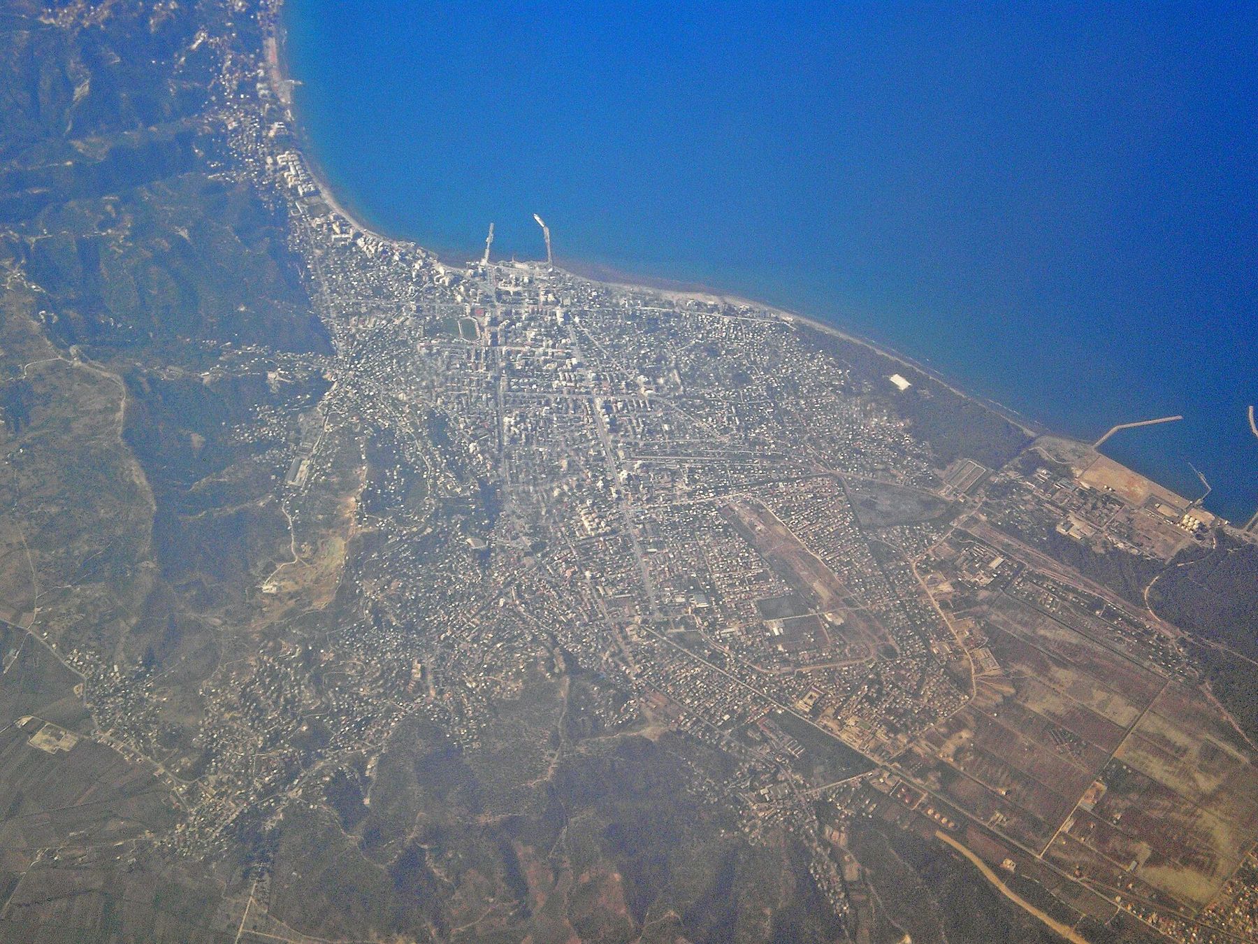
Vlorë is the country's second port and one of its busiest seaside cities, a long sprawl of apartment blocks, palms and beach along a bay that faces the mountains of the Karaburun peninsula. Most summer visitors come for the beaches. But the city has a story that no other place in Albania can tell, and it is worth an unhurried day.
November 1912
By the autumn of 1912 the Ottoman Empire was collapsing in the Balkans. The First Balkan War had begun, and Serbian, Montenegrin and Greek armies were advancing into lands where Albanians lived. Albanian leaders feared their territory would simply be divided among the neighbours. On 28 November 1912 delegates from across the Albanian lands gathered in Vlorë, which was still free of foreign troops, and under the leadership of Ismail Qemali declared Albania independent. The flag was raised over the building where they met.
The new state had a hard birth. Its borders were drawn by the great powers in London, leaving many Albanians outside them, and the years that followed brought occupation, war and political turmoil. In 1920 the people of the Vlorë region rose against the Italian troops then holding the city, and Italy withdrew. Vlorë has carried a reputation for independence of mind ever since.
28 November is still Flag Day, Albania's national holiday, and Vlorë marks it with ceremonies in the square. If you are in the country then, it is a good day to be here.
Ismail Qemali himself was a son of Vlorë, born into a prominent local family, who had spent decades as an official and reformer in the Ottoman administration before he returned to lead the declaration. He served as the head of the first government for a little over a year, and his name is everywhere in the city now, on streets, schools and statues.
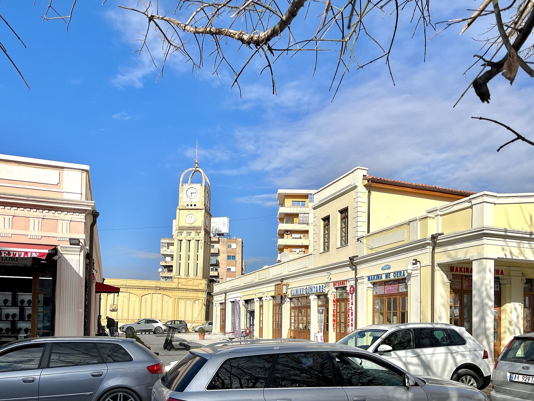
The old town around the clock tower near the centre is small, a few streets of low houses with tiled roofs and wooden balconies that survived the rebuilding of the city around them. Several have been restored in recent years, and their cafés make a pleasant pause between the monument, the mosque and the museum. In the evening the streets fill with people heading down to the sea.
The monument and the museum
The Independence Monument in Flag Square was put up in 1972, for the sixtieth anniversary, and it carries the heroic style of its period: muscular, upward, collective. Whatever you make of the aesthetics, it is one of the most important monuments in the country, and Albanians come here to be photographed beside it.
A short walk towards the sea, near the old harbour, the National Museum of Independence occupies the building that housed Albania's first government. Inside, the rooms are kept as they were, with the furniture, documents, photographs and portraits of the men of 1912. It is a small museum and an old-fashioned one, but the sense of a real room where a real decision was taken is strong. Opening hours change, so check before you go.
This is where Albania, as a state, begins.
The Muradie Mosque
A few minutes from the square stands the Muradie Mosque, built in the sixteenth century and traditionally attributed to Mimar Sinan, the great architect of the Ottoman court. It is small and elegant, built of alternating bands of red and white stone, with a slender minaret and a single dome. Around it the city has grown into a tangle of traffic and modern blocks, which makes its calm all the more noticeable.
It is a working mosque. Visitors are generally welcome outside prayer times; dress modestly, remove your shoes, and follow any guidance from those inside. The building survived the communist years, when religion was banned in Albania from 1967 and many mosques and churches were destroyed or put to other uses.
 Read nextThe Riviera, bay by bay
Along the bay
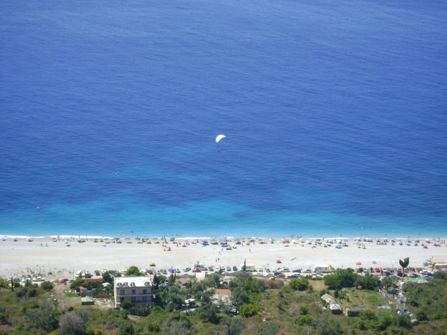
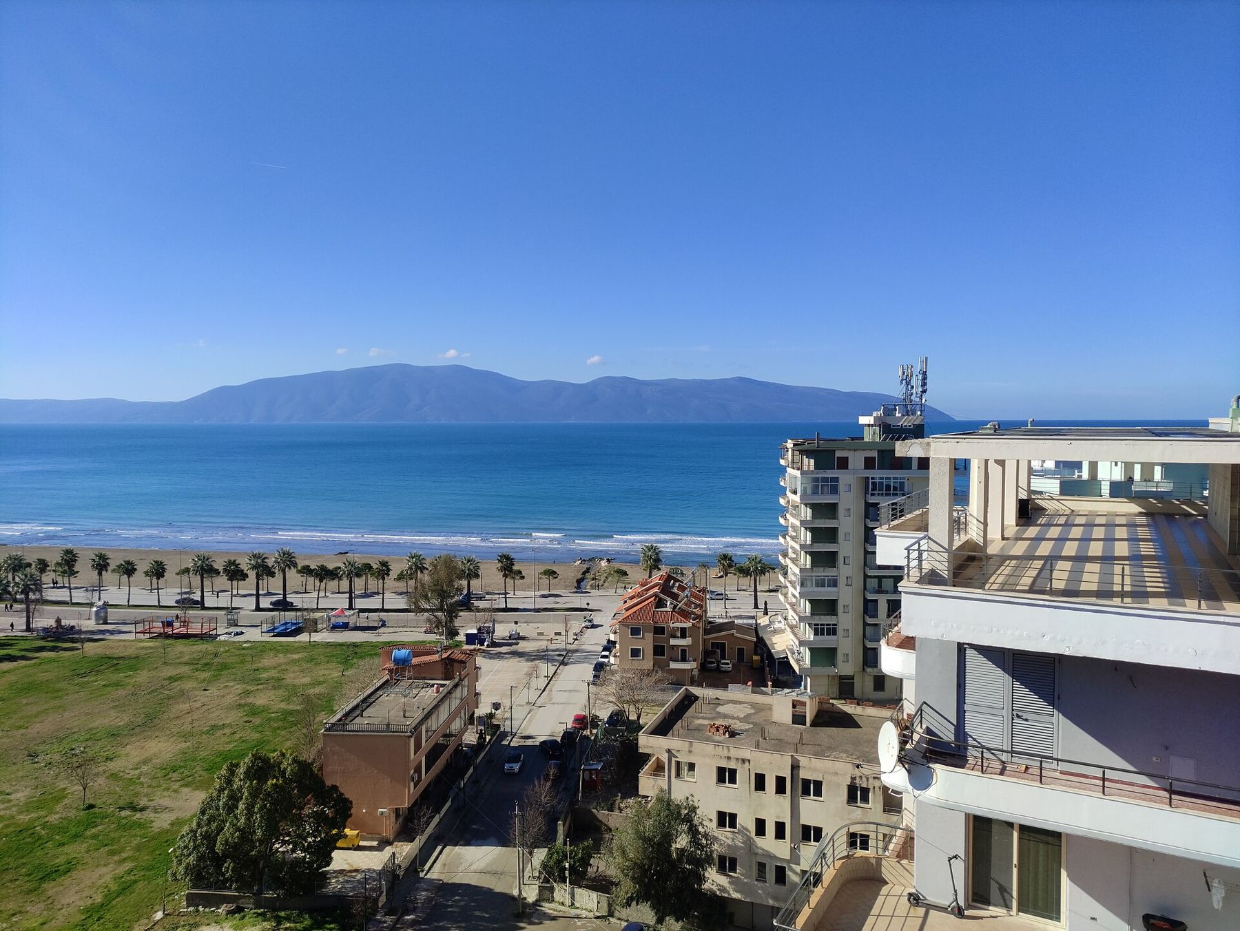
The Lungomare, the seafront promenade, runs south from the port along the bay, lined with palms, cafés, hotels and beach clubs. In the evening it is the place to walk, and in summer it is crowded with families until late. The beaches nearest the centre are sandy; further south, towards the Llogara road, the coast turns rocky and the water clears.
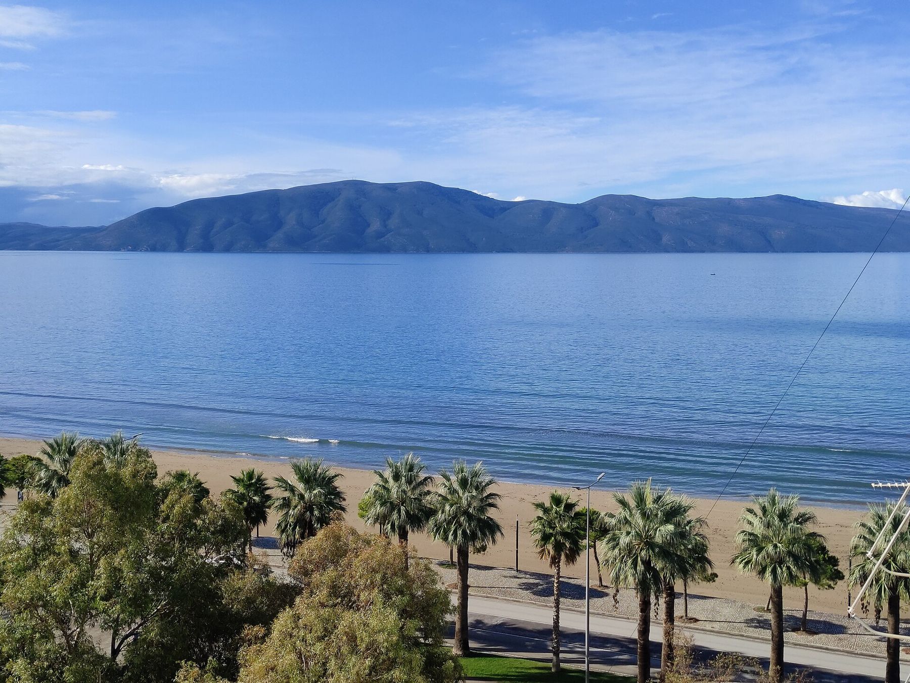
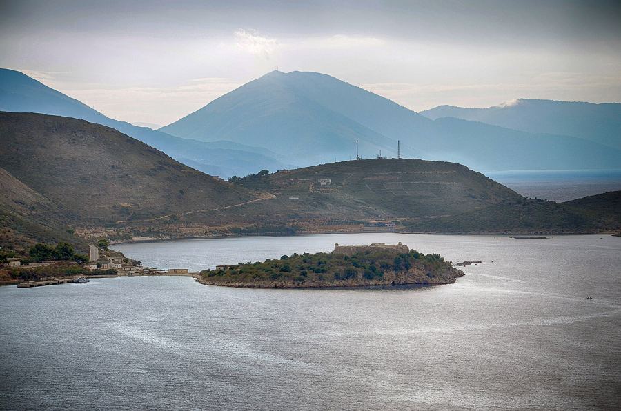
Across the bay lies the long grey ridge of the Karaburun peninsula, and off its tip the island of Sazan. Both were closed military zones for most of the twentieth century. The waters around them now form Albania's first marine protected area, and in summer boats run trips from Vlorë to the sea caves and coves of Karaburun, which no road reaches. Trips depend on the weather and the season.
The bay's military past is still visible. At Pashaliman, on the southern shore, is the naval base where Soviet submarines were stationed until the break between Albania and the Soviet Union in 1961, when Albania kept several of the vessels. It remains a military area and is not open to visitors.
Above the city to the south-east, on a hill, is the castle of Kaninë, a ruin with a view over the whole bay, the city and the islands. The road up is narrow and steep, and it is best at sunset.
Zvërnec and the Narta lagoon
North of the city, past the port and the salt pans, the land flattens into the Narta lagoon, a wide stretch of shallow water and marsh separated from the sea by a strip of sand and pine. In winter and spring it is one of the best places in the country for water birds, including flamingos, pelicans and herons.
At its southern edge, in a pine wood on the shore, a wooden footbridge leads across the water to a small island and the Monastery of St Mary at Zvërnec. The church is Byzantine, dating from around the thirteenth or fourteenth century, built of stone and brick with a tiled roof and the remains of wall paintings inside. Cypresses stand around it. There is little else on the island, and the silence after the traffic of Vlorë is complete.
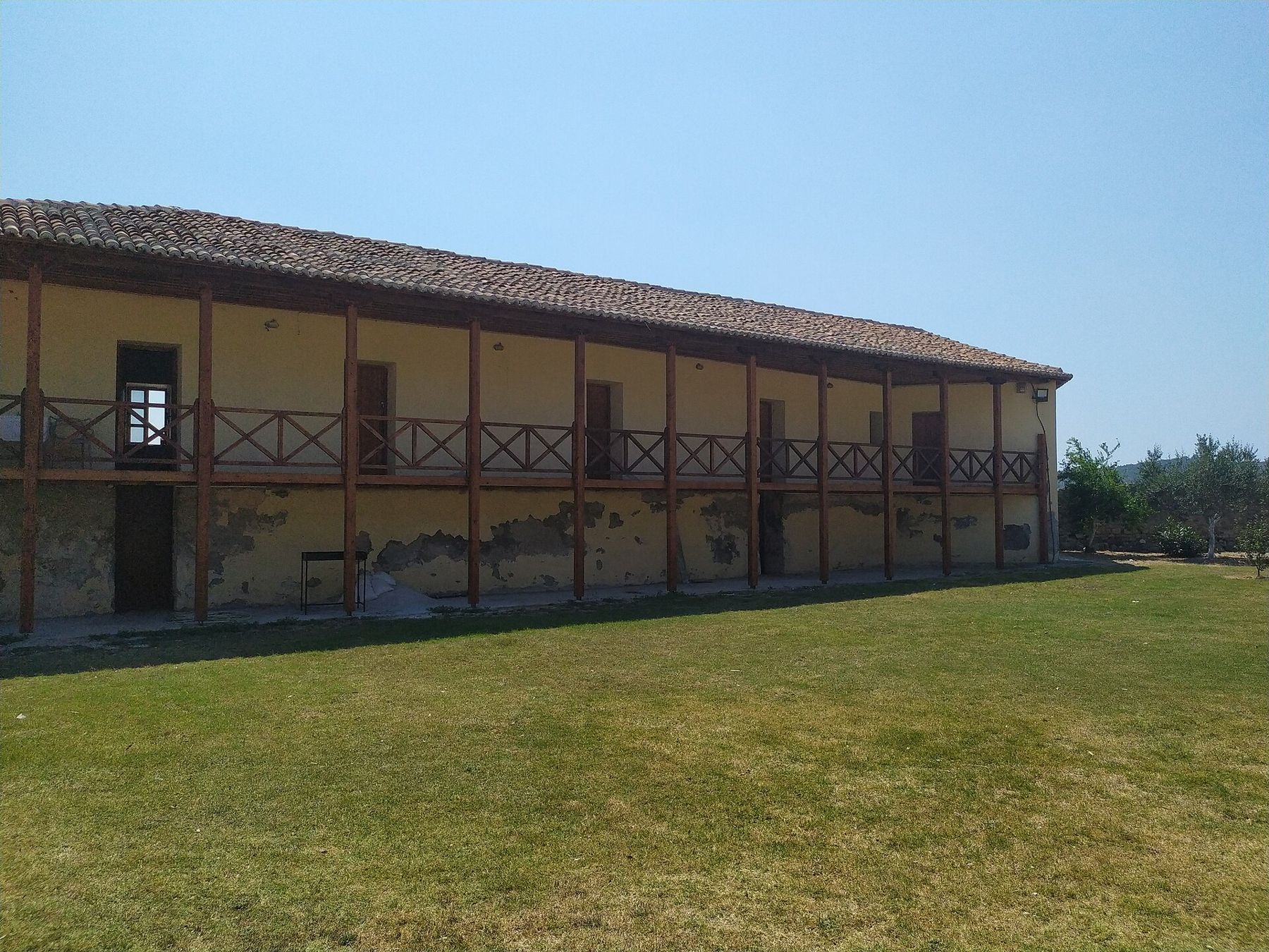
The church is not always open, but the walk across the bridge and around the island is reason enough to come. The pine forest along the shore is a cool place for a picnic, and the beach beyond is long, quiet and backed by dunes.
Vlorë as a base
The city is the gateway to the Riviera. The road south along the bay passes Orikum, with its marina and the remains of an ancient city, before climbing the Llogara Pass and dropping to Dhërmi and the coast. For the bays beyond, our story on the Riviera, bay by bay goes south one cove at a time.
Vlorë also has a ferry connection to Italy, with sailings to Brindisi across the narrow mouth of the Adriatic; schedules change with the season and the operators. From Tirana, the motorway makes the city an easy trip, and buses run frequently. Our guide to getting around Albania covers buses, furgons and driving. On the way, the ruins at Apollonia are a short detour near Fier.
The city has changed fast. Tower blocks have risen along the seafront, and new roads, promenades and squares have been built in recent years. The 1990s were hard here: in 1997 the collapse of the pyramid investment schemes hit Vlorë especially badly, and the city was at the centre of the unrest that followed. Today's busy summer seafront is a long way from those years, and the city wears its prosperity with some pride.
End the day back at Flag Square, after the heat has gone. The monument catches the last light, the big flag ripples overhead, and the cafés around the square fill with people who, every one of them, know exactly what happened here.
Filed under The Coast