Albania is small enough to cross in a day, yet it packs in high peaks, a long coast, deep lakes and a dense history. Figures help make sense of it, though some are estimates and some are disputed. Here are the numbers we find most useful, rounded and qualified where they need to be.
How big is Albania?
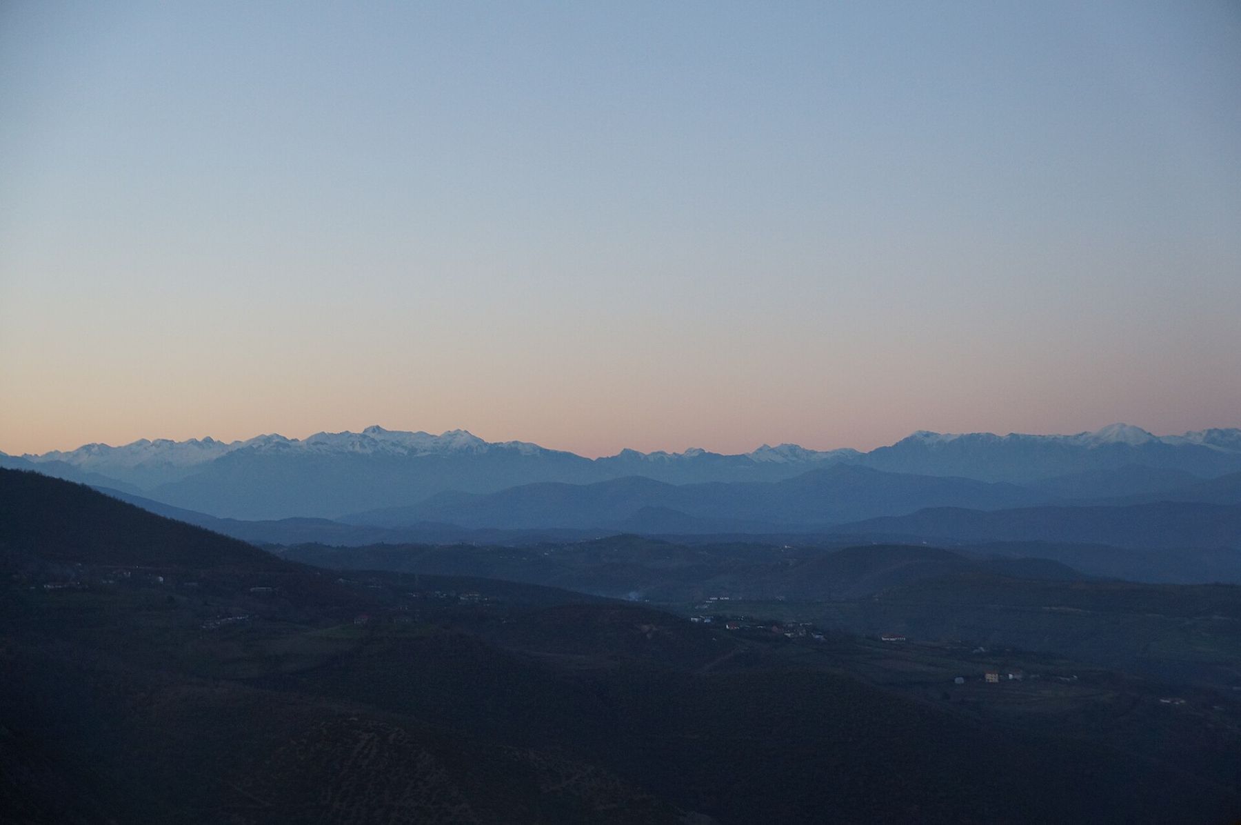
About 28,700 square kilometres, a little larger than Wales or roughly the size of the US state of Maryland. From north to south it runs about 340 kilometres, and at its widest it is about 150 kilometres across. You can drive from the Montenegrin border to the Greek border in a long day, though the mountain roads make the map misleading. Most of the country is hilly or mountainous; the flat land lies mostly along the central coast, around Durrës, Fier and the Myzeqe plain.
How many people live there?
About 2.4 million at the most recent census, which recorded a significant fall from earlier counts. The population peaked at over three million around 1990 and has declined since, mainly through emigration and falling birth rates. Tirana is by far the largest city, with well over half a million people in the city proper and more in the wider municipality. Durrës, Vlorë, Elbasan, Shkodër, Fier and Korça follow. Figures change as people move, so treat them as approximate.
How large is the diaspora?
Very large. Since 1990, hundreds of thousands of Albanians have emigrated, mainly to Italy and Greece, and in growing numbers to Germany, the United Kingdom, the United States and elsewhere. Estimates of the emigrant population vary widely, but it is often put at well over a million. Beyond that, there are large Albanian communities in Kosovo, where Albanians form the great majority, in North Macedonia and in Montenegro. Counting all Albanian speakers, those outside the country may outnumber those within. The effect is visible every summer, when cars with foreign plates fill the coast roads.
How high are the mountains?
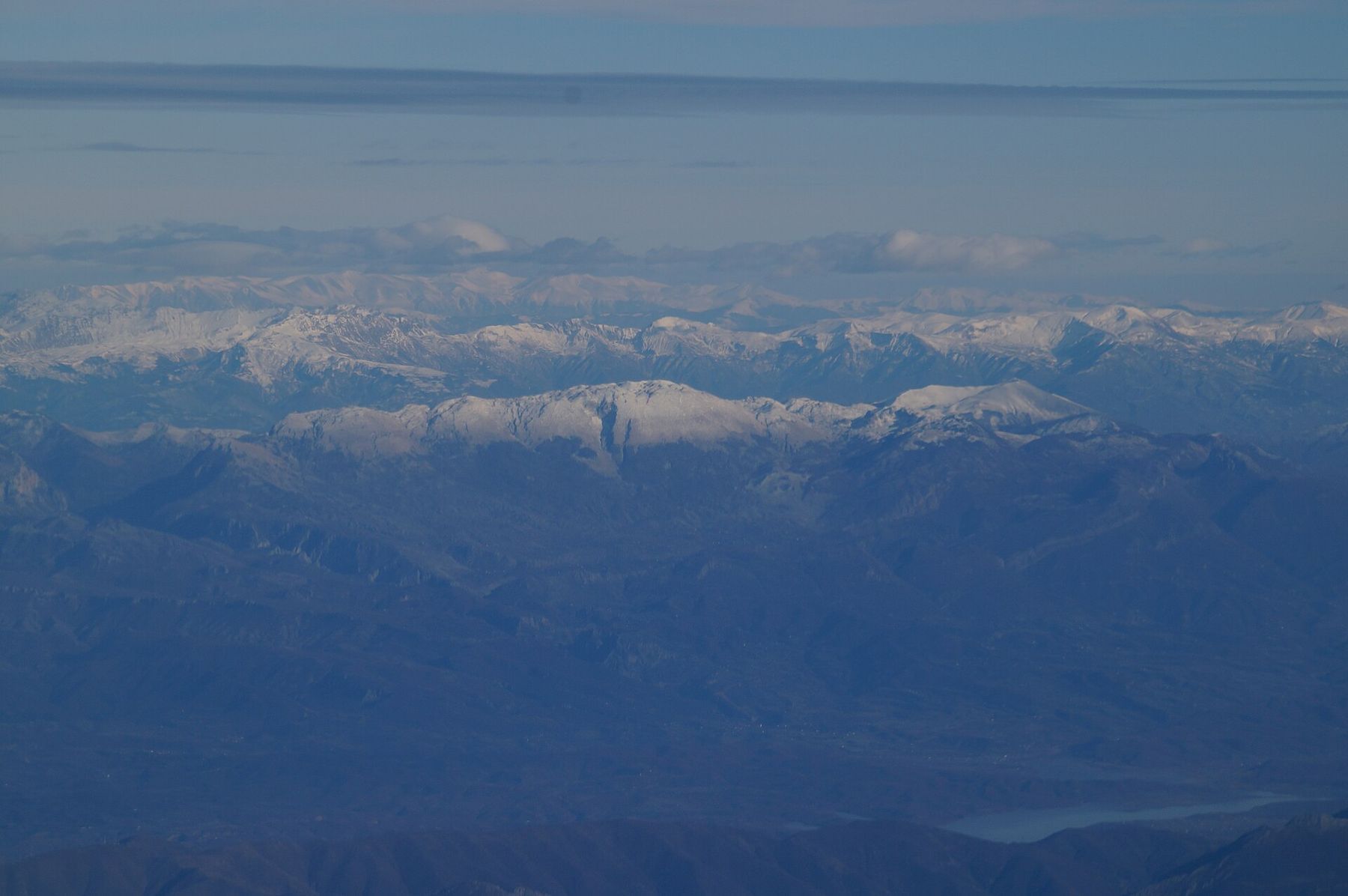
High for the size of the country. The highest peak is Mount Korab, about 2,764 metres, on the border with North Macedonia. The highest summit entirely within Albania is Maja e Jezercës, about 2,694 metres, in the Albanian Alps of the north, also called the Accursed Mountains. Dozens of peaks exceed 2,000 metres. Mount Dajti, above Tirana, rises to about 1,600 metres, and the Llogara Pass on the coast road tops a thousand.
The mountains explain much of Albania's history: isolated valleys, distinct dialects and customs, and the long survival of the northern customary law, the Kanun.
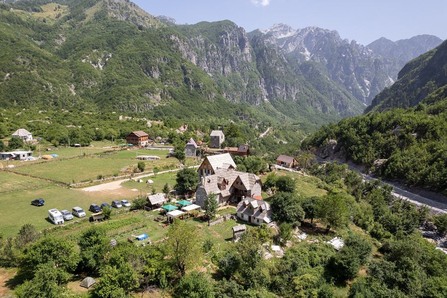 Read nextTheth, at the end of the road
How long is the coast?
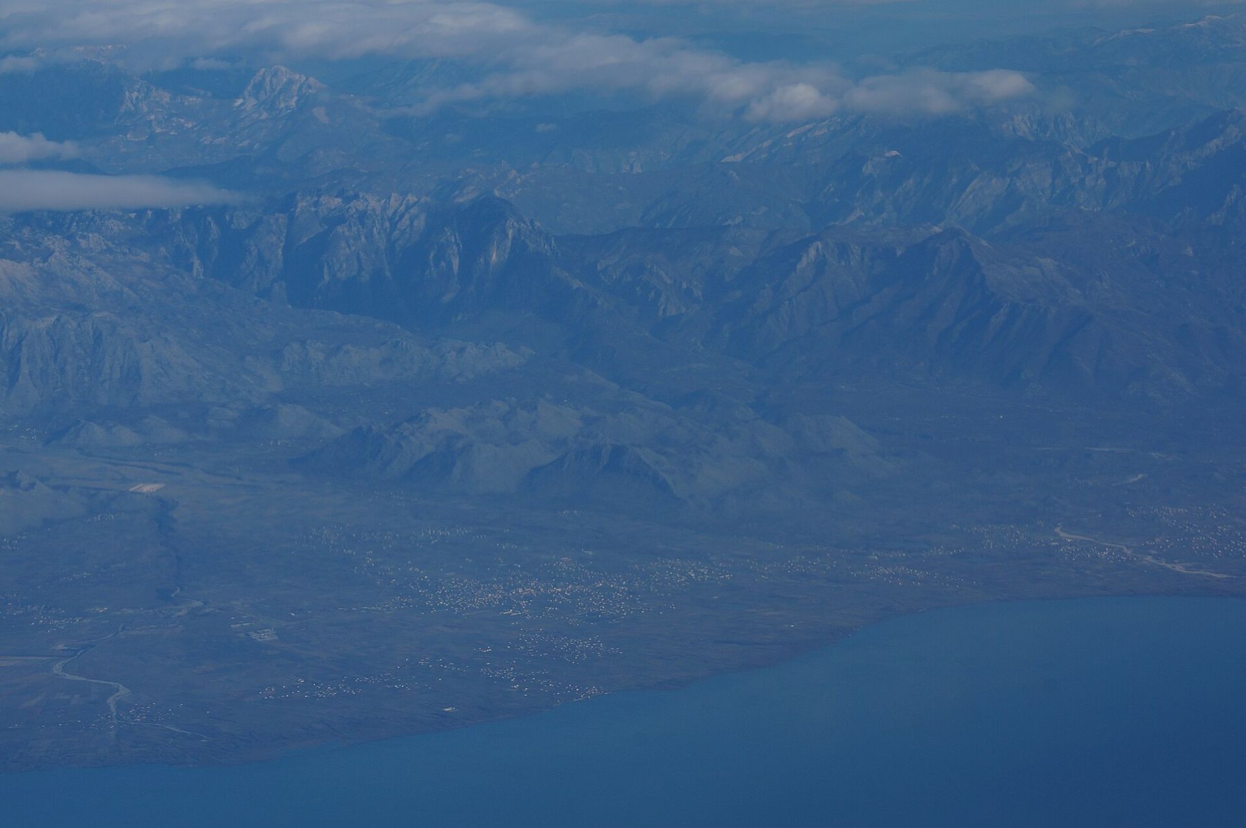
About 476 kilometres is the figure most often given, though some measurements give lower numbers depending on how the bays and lagoons are counted. The coast is divided between two seas: the Adriatic to the north, with long sandy beaches, lagoons and wetlands, and the Ionian to the south, with steep mountains, pebble coves and clearer water. The dividing line is usually placed at the Strait of Otranto, near Vlorë and the Karaburun peninsula. Corfu lies only a few kilometres off the southern coast.
How many bunkers are there?
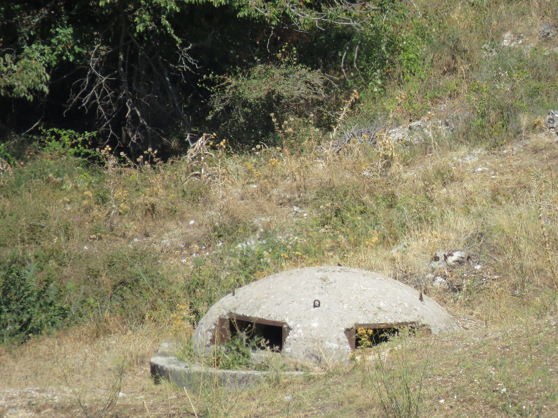
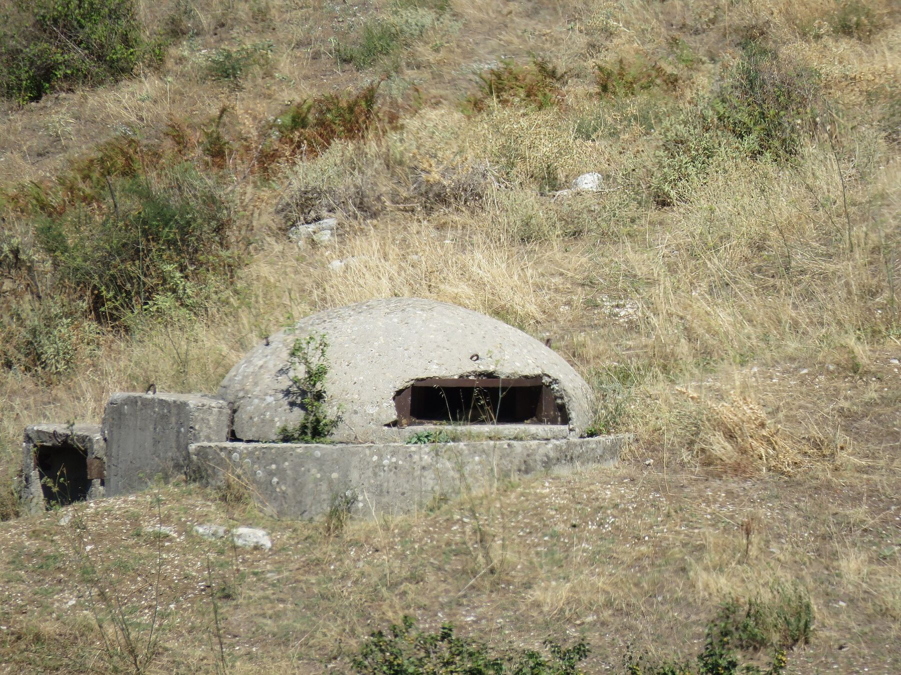
Nobody knows exactly. Under Enver Hoxha's government, from the late 1960s to the 1980s, Albania built small concrete bunkers across the country as part of a doctrine of defence against invasion. The most commonly quoted figure is about 173,000, though estimates vary widely and some are much higher. They stand on beaches, in fields, along roads and on hillsides, many shaped like domes with a gun slit. Large numbers have been removed or buried, some have been painted or turned into cafés and shelters, and many simply remain. Two of the largest underground complexes are now museums in Tirana.
What about lakes and rivers?
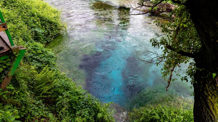
Albania shares three large lakes with its neighbours. Lake Shkodër, shared with Montenegro, is the largest lake in the Balkans. Lake Ohrid, shared with North Macedonia, is one of the oldest and deepest lakes in Europe. The Prespa lakes are shared with North Macedonia and Greece. The rivers include the Drin, dammed into a chain of reservoirs including Lake Komani, and the Vjosa, which has been protected as a national park, one of Europe's last large wild rivers.
What dates matter?
Skanderbeg led resistance to the Ottomans from 1443 until his death in 1468. Independence was declared at Vlorë on 28 November 1912. The communist period ran from the end of the Second World War until 1990–92. Religion was banned in 1967, when the state declared itself atheist. The financial collapse of the pyramid schemes in 1997 brought the country to the edge of civil war. Albania joined NATO in 2009 and has been a candidate for European Union membership since 2014.
When did Tirana become the capital?
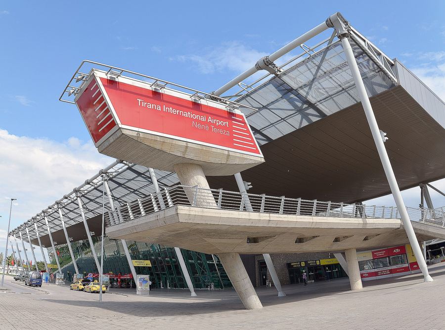
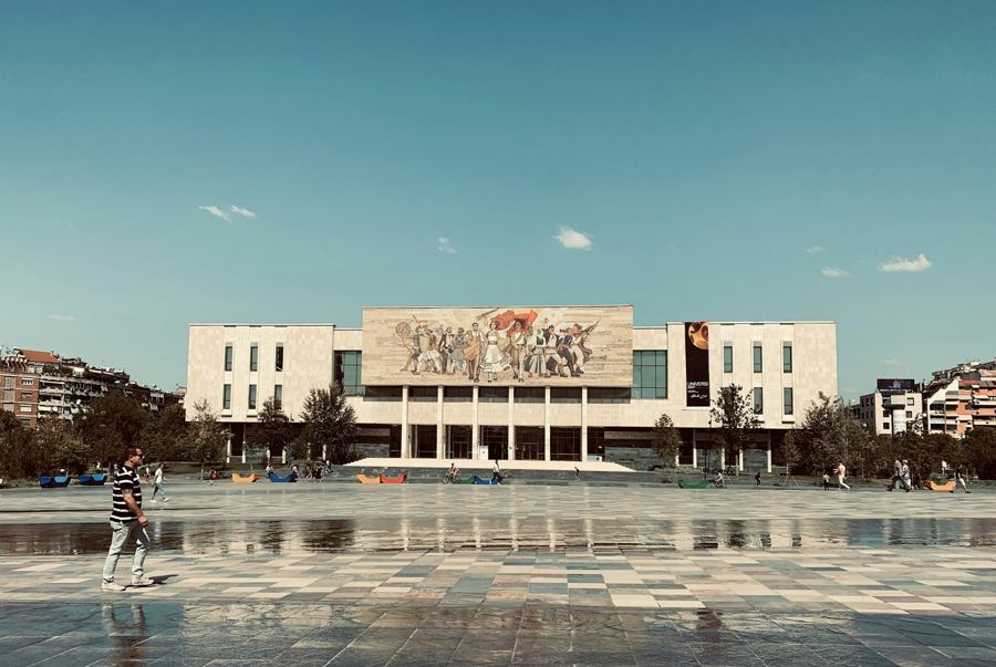
In 1920, at the Congress of Lushnjë, Tirana was chosen as the capital of the young state. It was a modest town then, of perhaps ten to twenty thousand people. The Italian-designed boulevard and ministry buildings of the 1930s, the communist-era blocks and the towers of the past two decades have since turned it into a city of several hundred thousand, and the capital region now holds around a third of the country's population.
How many visitors come?
Many more than a decade ago. Tourist arrivals have risen sharply and now run into the millions each year, with a strong peak in July and August. A large share are visitors from Kosovo and North Macedonia and members of the diaspora, but numbers from the rest of Europe have grown quickly. Exact figures change every year.
Any other numbers worth knowing?
Two main dialects, Gheg in the north and Tosk in the south, divided roughly by the Shkumbin river. One alphabet, the Latin one, agreed at a congress in Manastir in 1908. Three main faiths, Islam, Orthodoxy and Catholicism, with a long record of coexistence. And one double-headed eagle on a red flag, everywhere.
For the bunkers up close, visit Bunk'Art in Tirana. For the mountains, start with the Valbona to Theth pass, and count the peaks yourself.
Filed under Practical